Description
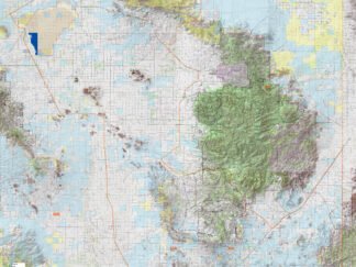
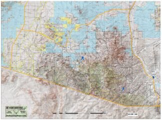
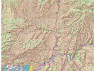
This older version map represents the North Half of Az GMU 27 from Rose Peak Area North and from the San Carlos to the NM Line. It was created to take advantage of the 1:24,000 contours. Its older so don’t rely on ownership and FS Roads since changes may have occurred however it is overlayed with other relevant info to get a good feel of the country. When using Avenza Maps remember to go into the settings of the app and adjust dpi from auto to 300dpi for best results.


